
The settlement hierarchy
Any settlement, from a lone farmhouse to a city of millions, can be placed on a ladder according to how big it is and what it offers. Geographers call this ranking the settlement hierarchy. Ranking places in this way lets us compare settlements, predict where particular services are likely to be found, and see how smaller places depend on larger ones.
A ranking of settlements from smallest to largest, based on their population size and the number and range of services they provide.
The hierarchy is usually drawn as a pyramid (Figure 3.3). Two trends run up the pyramid at the same time:
- moving up, each type of settlement has a larger population and more services
- moving up, settlements become less frequent, so there are fewer of them
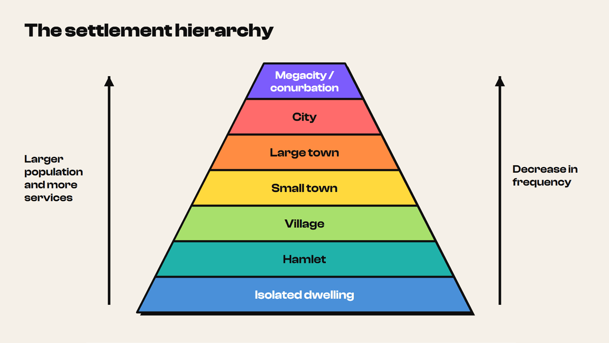
The wide base tells you that small settlements are common. A country may contain thousands of isolated farms and hamlets but only a handful of cities. The narrow tip tells you that the very largest urban areas are rare.
8 more sections in this topic
Pick this up in your Library: it holds the whole topic, notes, cheatsheet and questions.