
Maps and why they matter
Picture an old brass compass resting on a hand-drawn map of the island of Minorca. The map shows the harbour at Port de Mahon, the town of Citadella and a sea monster drawn at the top. Long before phones and satellites, a sailor with that map and that compass could work out where the island was, which way to steer and roughly how far there was to go. People have relied on maps in the same way for centuries.
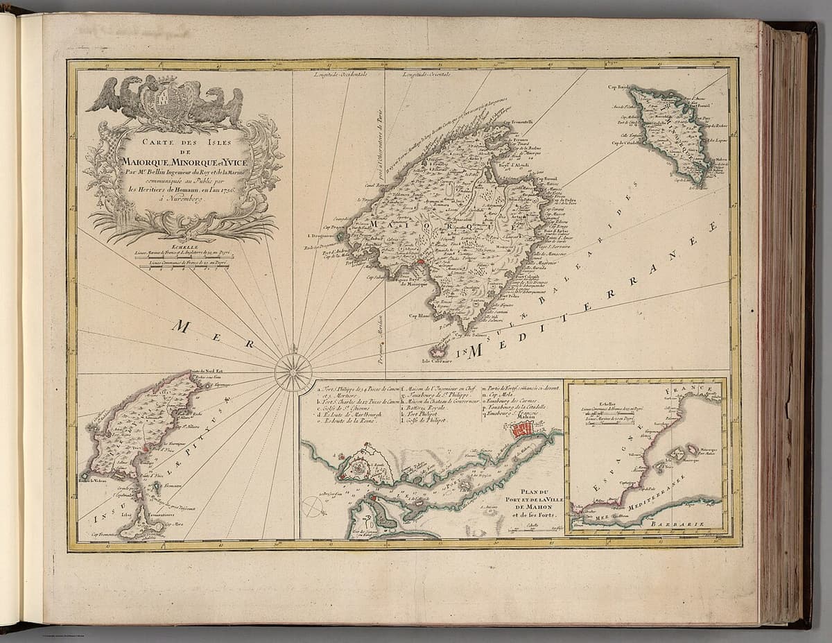
A visual representation of an area, showing where things are located within it and what they look like.
Maps come in many forms, shapes and sizes. A map can be a giant world chart on a classroom wall or a small sketch of how to get to a friend's house. Some maps show many features at once. Others focus on one characteristic of a place, such as how many people live there or how much of a natural resource is available.
Maps matter because they help us do three things:
- Find our way, by showing direction.
- Judge size and distance, by showing scale.
- Understand an area, by showing the features found there.
Write your own one-sentence definition of a map. Then list every use of a map you can think of and the last time you used one. A bus route, a shopping centre floor plan or a game world all count.
To use a map well you need a set of tools for pinning down location and distance. These are imaginary lines, direction, scale and grid references. The different types of map are covered in the lesson on types and components of maps.
8 more sections in this topic
Pick this up in your Library: it holds the whole topic, notes, cheatsheet and questions.