
Rivers and the landscape
Rivers have always mattered to people. Many of the earliest civilizations grew up along great rivers such as the Nile and the Euphrates, which supplied water for drinking, farming and travel. Rivers also change the land they flow through. Over long periods, moving water cuts into rock, carries the pieces away and leaves behind distinctive shapes in the landscape.
Geographers start by reading the evidence in front of them. Picture six photos side by side: flooded buildings seen from the air, water pouring through the gates of a dam, a coastline jutting into the sea, red and white cliffs crumbling into piles of rock, a waterfall with a rainbow among green vegetation, and the sea stacks of the Twelve Apostles in Australia. Some of these show rivers and some show coasts. Every one shows water doing work on land or people trying to control that work.
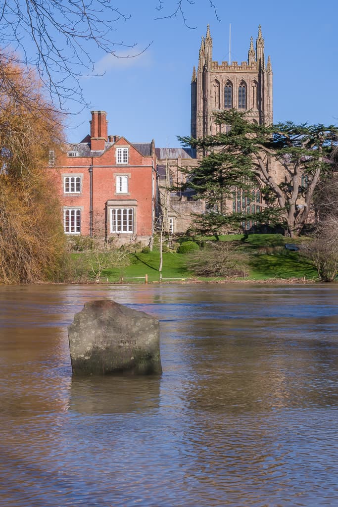
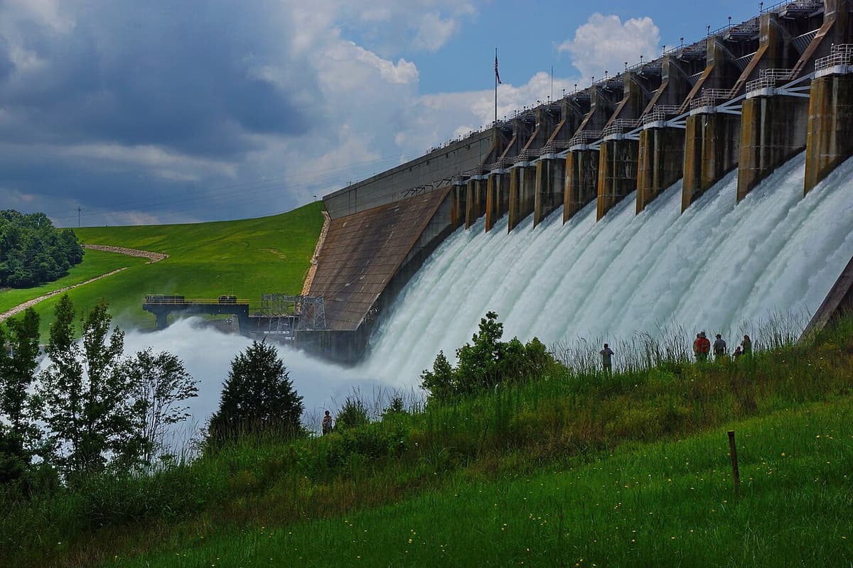
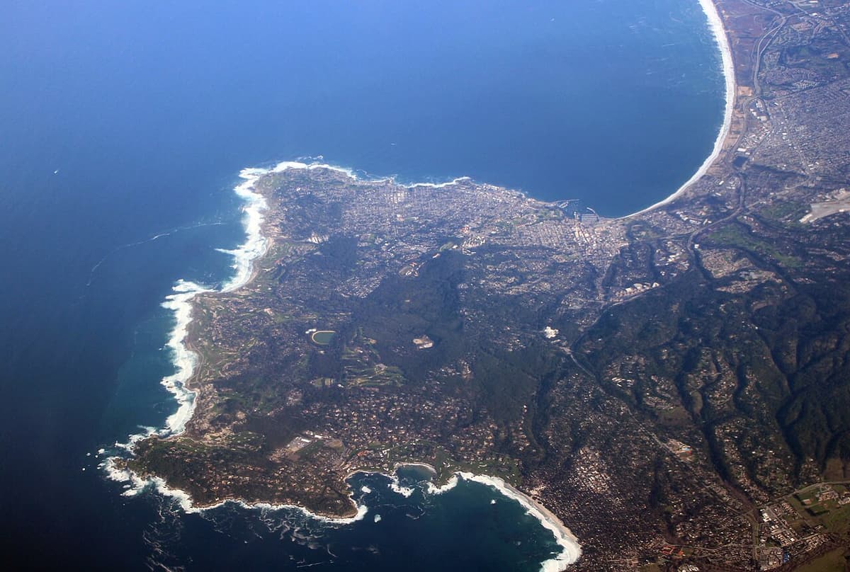
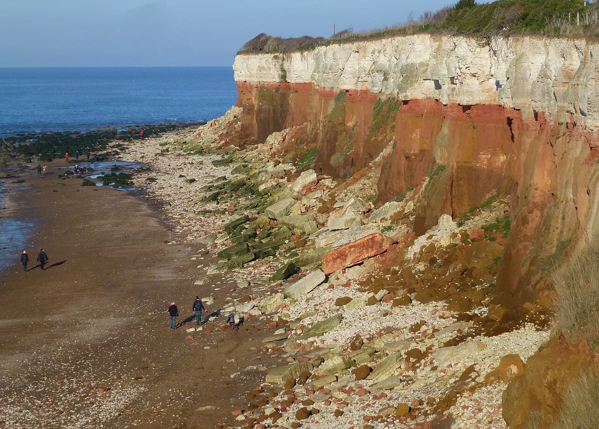
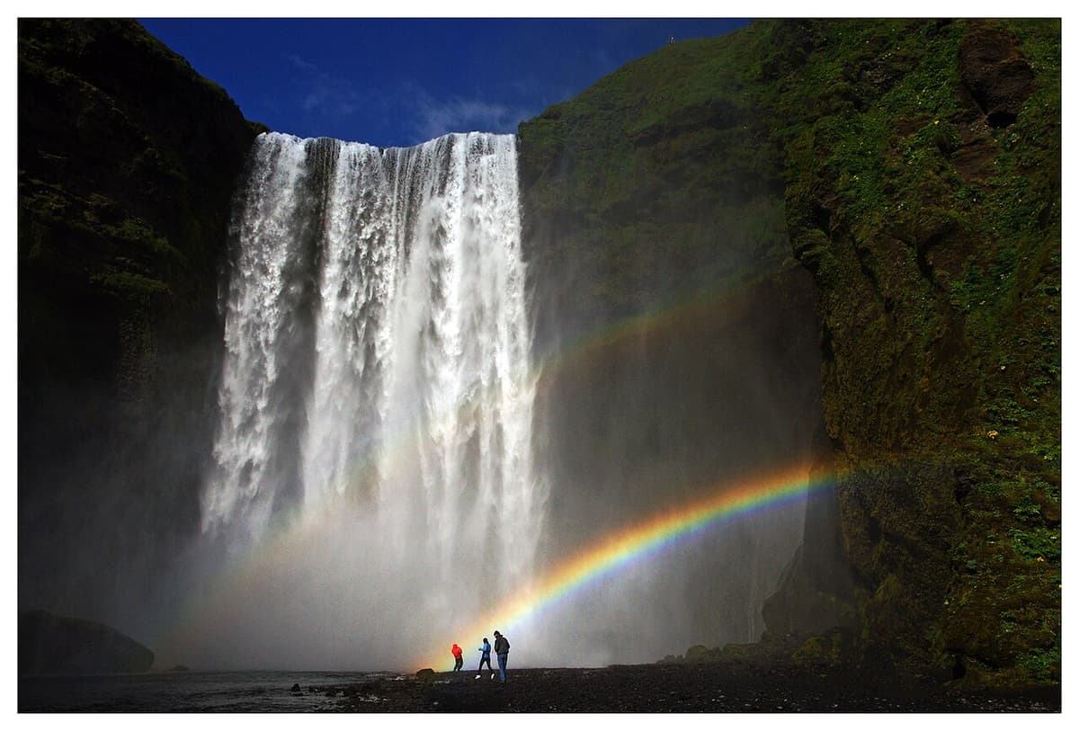
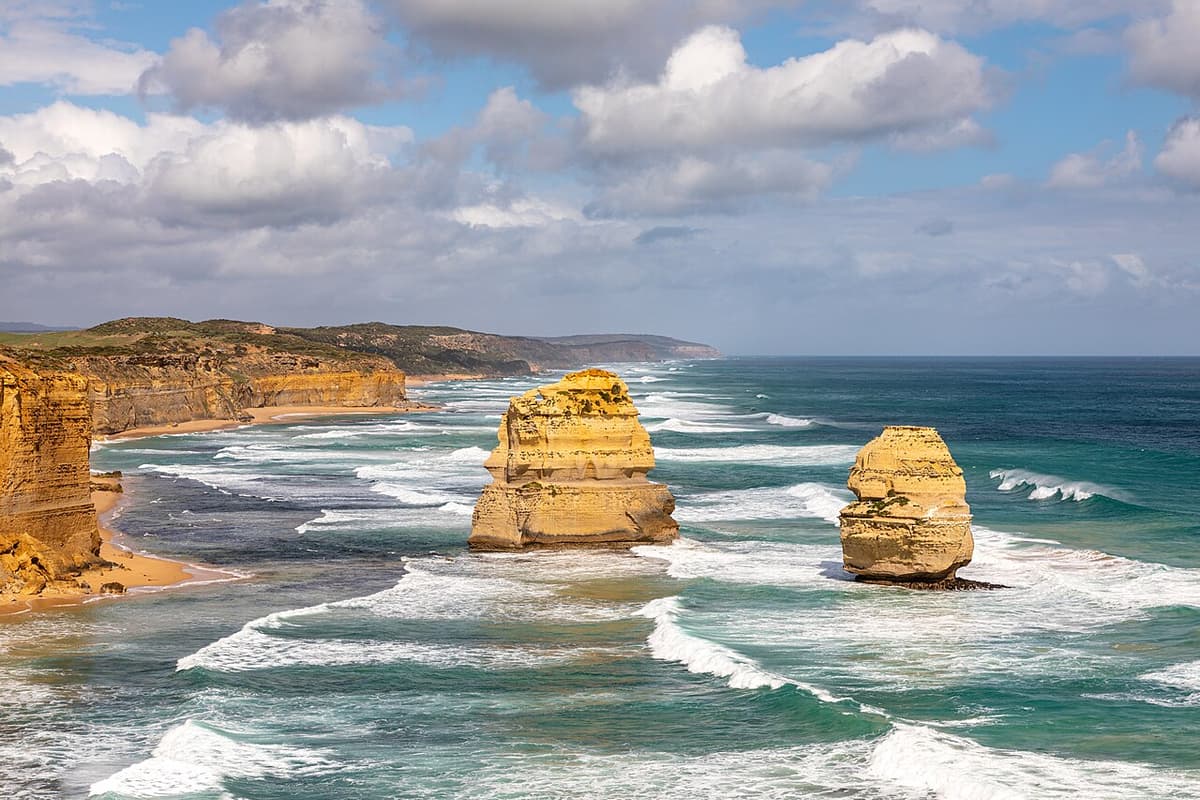
When you describe a photo, back up each claim with something you can actually see. "The cliff is eroding" is stronger when you add "because loose rock is piled at its base".
The waterfall is a river landform made by erosion. To explain how it formed, you first need to know how a river system is organised, what processes act inside it, and why those processes are strongest near the river's beginning.
9 more sections in this topic
Pick this up in your Library: it holds the whole topic, notes, cheatsheet and questions.